Polar blast hits: Snow fall as Victoria braces for an icy weekend

We’re in for a chilly weekend.
The Bureau of Meteorology warned that Antarctic air was set to hit all of Australia’s east coast and it has arrived in Victoria!
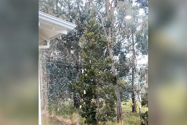
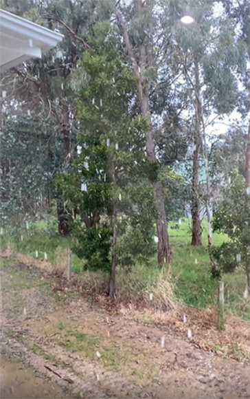
Snow hit Gordon, east of Ballarat, just after lunch time.

Meanwhile, a light dusting of snow has also fallen near Kyneton.
A little dusting to get the weekend’s chill started just north of Kyneton. Snowman potential atop nearby Mt Macedon @3AW693 pic.twitter.com/4HXL6aIkTU
— Brian Wilson (@ietsystems) August 21, 2020
Melbourne won’t escape the chill this weekend, either!
Melbourne’s weekend forecast:
SATURDAY: Max temperature 12°, very high chance of showers, snow flurries above 500m, chance of a thunderstorm, possible hail.
SUNDAY: Max temperature 12°, high chance of showers.
The cold snap comes just days after the Bureau of Meteorology forecast a 70 per cent chance of La Niña forming before the end of 2020.
La Niña, caused by strong ocean winds near the equator, typically results in above average winter and spring rainfall, along with cooler days and more tropical cyclones.
The last significant La Niña event in Australia was in 2010-2011.


